Ewoldsen Trail
Julia Pfeiffer Burn State Park, Big Sur, California

My husband and I were lucky to sneak away for a couple’s weekend. We went and stayed in Monterey, CA and on Saturday we drove down Highway 1. We stopped at our favorite food places, had coffee, baked goods and wine & nibbles on the way back. You can read about these restaurants here in my post from yesterday.


Julia Pfeiffer Burns State Park is about 37 miles south of Carmel and 12 miles south of Pfeiffer Big Sur State Park. You can either drive in the park, pay the daily fee of $ 10 or park on the side if it’s available. Look for the Ewoldsen/Canyon trail sign at the eastern end of the parking area.
We started the hike and walked up the Canyon trail to the dead end at Canyon falls, then walked back and took the fork to continue up to the loop. Here you can find a map of the trail.


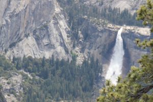
We crossed the creek a few times and hiked among spectacular redwood trees and huge rock formations. The loop is 5 miles long. It took us about 1 hour 45 minutes and we gained about 1,500 ft of elevation.


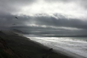
After climbing up the trail you’ll be rewarded with spectacular views over the Pacific coastline of Big Sur and you might even spot a California condor since they have been known to roost here.


If you have a day or two in Big Sur, I would totally recommend this hike. I love driving up and down Highway 1 but only when you walk through these woods you’re going to experience the full beauty of this Californian gem. It’s a magical place.


You can find more information about the trail here:
Hiking in Big Sur, Redwood hikes and Modern hiker.
This post is a part of a series called NaBloPoMo 2016 hosted by BlogHer. NaBloPoMo is short for National Blog Posting Month and it challenges writers and creatives to post on their blogs once a day (at least) for the month of November. You can find all my posts on my blogher page, too. Stay tuned!
If you loved what you read feel free to share!
And don’t forget to check out Jo’s Monday walk here! 


